
Overview
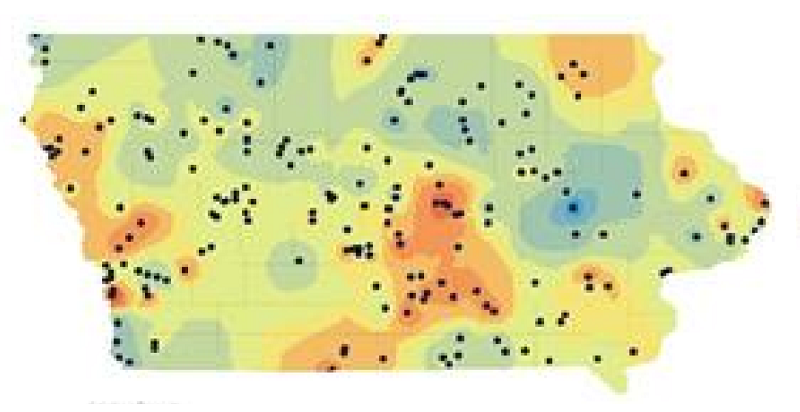
Estimators use historical bid prices to prepare cost estimates, but prices can vary by location. This study uses four years of Iowa Department of Transportation bid data and geographic information systems (GIS) to map the spatial and temporal variation of a major transportation-project item.
Spatial interpolation produces estimates for locations without direct bid data, providing another tool for developing timely, location-aware cost estimates.