
Overview
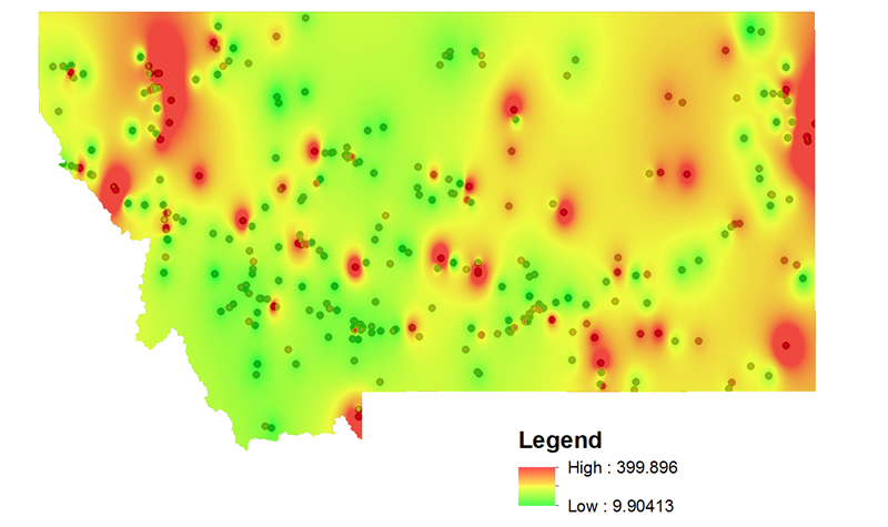
The Unit Price Visualization Tool maps historical bid prices to show how costs vary across a state. Spatial interpolation estimates prices at locations without direct bid data, helping estimators assess local costs and compare the effects of location and work quantity.
The tool is an add-in for ESRI ArcGIS Desktop and requires the Spatial Analyst extension.